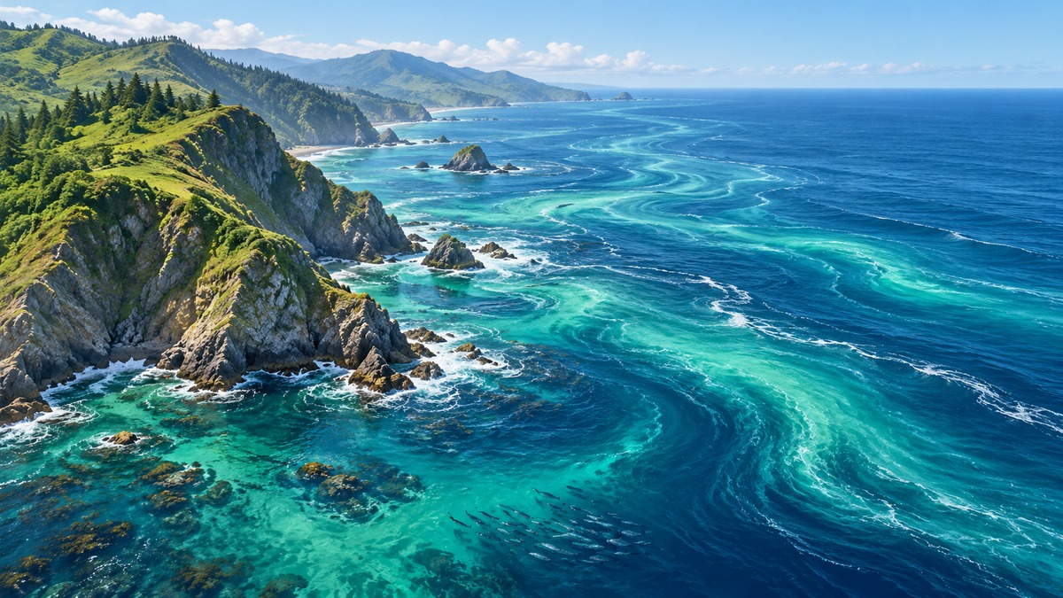
Why can a cold coast support a productive marine food web?
A coast can receive strong tropical sunshine yet have surprisingly cool seawater and rich fishing grounds. Latitude alone cannot explain this combination. Ocean currents move heat horizontally, while upwelling brings water from below into the sunlit surface layer. Understanding these two movements together explains more than memorising a list of warm and cold currents.
An ocean current is a directed movement of seawater. It may be horizontal or vertical, persistent or seasonal, and narrow or spread across a basin. Surface circulation, density differences and coastal processes interact; they are useful categories for study, not separate oceans. For UPSC CSE and State PCS, this theme connects physical geography in GS I with marine ecosystems and resource management in GS III.
What drives and steers seawater?
Winds transfer momentum to the sea surface through friction. Moving surface water transfers some of that motion downward. Pressure differences also move water, while continents, seabed features and Earth's rotation influence its path. Tidal currents arise from the tidal response to the gravitational influence of the Moon and Sun. Thus, the driver depends on the current being considered.
The Coriolis effect deflects moving water to its right in the Northern Hemisphere and to its left in the Southern Hemisphere. These directions are relative to the motion, not fixed compass directions. Right of a northward movement is east; right of a southward movement is west. Coriolis steers motion rather than supplying the wind energy that initially drives a surface current.
For large-scale horizontal motion, the Coriolis parameter is zero at the equator and changes sign across it. This does not mean equatorial waters are motionless. Winds, pressure gradients and the circulation on either side of the equator still matter. Avoid extending a rule derived away from the equator directly to the equator without checking its assumptions.
Gyres and the meaning of an ocean boundary
A gyre is a large circulating system of currents. The major subtropical gyres rotate clockwise in the Northern Hemisphere and anticlockwise in the Southern Hemisphere. This statement concerns subtropical gyres, not every ocean circulation. For example, Northern Hemisphere subpolar gyres rotate anticlockwise, illustrating why the qualifier matters.
Boundary names refer to the ocean basin. The western edge of the North Atlantic lies beside eastern North America. Consequently, a western boundary current may run along a continent's eastern coast. Confusing a basin's edge with a continent's coast reverses the geographical classification.
| Feature | Western boundary of a subtropical gyre | Eastern boundary of a subtropical gyre |
|---|---|---|
| Typical structure | Narrower, deeper and faster | Broader, shallower and slower |
| Typical transport | Warm water moving poleward | Cooler water moving equatorward |
| Examples | Gulf Stream in the North Atlantic; Kuroshio in the North Pacific | Canary Current in the North Atlantic; California Current in the North Pacific |
Warm and cold describe a current's temperature relative to surrounding waters and its geographical setting. They are not universal temperature thresholds. Nor does a cold horizontal current automatically demonstrate local upwelling: relatively cold water may have arrived from elsewhere. Horizontal transport and vertical replacement must be distinguished.
Ekman transport: the layer matters
In the idealised Ekman model, successive wind-driven layers differ in speed and direction. The net movement integrated through the wind-affected layer is called Ekman transport. Under the standard steady assumptions away from the equator, it is 90 degrees to the right of the wind in the Northern Hemisphere and 90 degrees to the left in the Southern Hemisphere.
This is a statement about the combined transport of a layer, not the direction of every parcel at every depth. The ideal surface-current angle and the net transport angle are different concepts. Real coastlines, variable winds, shallow water and mixing can modify observed flows; an examination scenario using the ideal model must specify those assumptions.
Consider a hypothetical straight western coastline of a continent in the Northern Hemisphere, with the ocean to its west. A wind blowing towards the south has westward net Ekman transport, away from that coast. If the wind reverses towards the north, the transport becomes eastward, towards land. Drawing a small compass and locating the ocean prevents mistakes caused by memorised slogans.
Upwelling, downwelling and food webs
When surface water moves away from an area, subsurface water can rise to replace it. This is upwelling. Along a coast, an alongshore wind can produce offshore transport and therefore upwelling even though the wind itself is not blowing directly offshore. Conversely, onshore transport can accumulate surface water against a coast and favour downwelling.
Upwelled water is commonly cooler and richer in dissolved nutrients than the surface water it replaces. Nutrient supply into the illuminated layer can support phytoplankton, the photosynthetic organisms at the base of many marine food webs. The relevant mechanism is the meeting of nutrients and light; low temperature itself is not a fertiliser.
A productive fishery therefore involves several links: nutrient delivery, primary production, transfer through food webs and suitable habitat. Nutrient enrichment cannot by itself establish sustainable catches. Fishing pressure, ecosystem condition and the timing of biological responses also matter. Likewise, a snapshot of chlorophyll is an indicator of phytoplankton abundance, not a direct count of fish.
Upwelling also occurs away from coasts. Under westward equatorial trade winds, surface transport on the northern side is directed northward and on the southern side southward. This divergence allows subsurface water to rise. The explanation uses opposite deflections on the two sides, not a maximum Coriolis effect at the equator.
Density-driven circulation and the freshwater distinction
At comparable pressure, cooling ordinary seawater generally increases its density, while increasing salinity also increases density. Together these effects help explain thermohaline circulation: temperature and salinity influence density differences that contribute to ocean overturning. Pressure matters when comparing water at different depths, so a simple surface comparison should hold it constant.
Sea-ice formation and freshwater addition have different consequences. Growing sea ice rejects much of its salt into surrounding seawater, tending to make that water saltier and denser. Adding freshwater through rainfall, runoff or melting land ice tends to reduce surface salinity and density, other conditions unchanged. A colder but fresher water mass cannot be ranked against a warmer, saltier one from temperature alone.
Dense surface water can sink where conditions favour deep-water formation. Yet the global circulation is not a machine powered by sinking alone. Winds, mixing and the return of deeper water towards the surface are also involved. The conveyor-belt image is a useful introduction, but not a literal single pipe with one speed or one route.
Heat transport and the Atlantic overturning system
Currents redistribute heat between regions, affecting exchanges between ocean and atmosphere. The Atlantic Meridional Overturning Circulation, or AMOC, includes northward transport of relatively warm upper-ocean water and a southward return of colder water at depth. It is a three-dimensional overturning system, rather than simply a horizontal loop around a basin.
The Gulf Stream participates in Atlantic heat transport but is not identical to the entire AMOC. It also forms part of the wind-driven subtropical circulation. A change in overturning should not therefore be translated into an unsupported claim that every Atlantic surface current stops. Similarly, regional climate depends on atmospheric circulation and other influences as well as ocean heat transport.
A recent connection: ocean observations in 2026
An analysis released on 10 September 2026 used EOS-06 ocean-colour and surface-wind observations to examine the developing El Niño. June 2026 observations showed reduced surface chlorophyll across parts of the equatorial Pacific alongside changed winds. The example links circulation to biological conditions without treating a satellite image as a direct measurement of fish stocks.
During El Niño, weakened trade winds and a deeper thermocline in relevant parts of the Pacific can reduce the supply of cool, nutrient-rich subsurface water. The thermocline is the layer where temperature changes rapidly with depth. Reduced nutrient delivery can limit phytoplankton growth despite abundant tropical sunlight. Interpretation benefits from combining wind, sea-surface temperature, sea level and subsurface observations.
Reading evidence and avoiding common traps
Begin a circulation problem by identifying the hemisphere, coastline orientation and process being described. Then separate a driving force from a deflection, a surface parcel from transport through a layer, and horizontal movement from vertical exchange. These distinctions are more transferable than memorising that a particular wind always produces upwelling.
In a Mains discussion, connect physical processes with livelihoods and observation systems. Changes in nutrient supply can affect ecosystems and fisheries, while changes in heat transport can influence regional climate. Better monitoring supports informed management, but uncertainty should remain explicit. A physical mechanism explains a possible response; it does not by itself determine its magnitude everywhere.
Quick revision
- Wind supplies momentum; Coriolis changes the direction of moving water.
- Western and eastern boundaries are defined relative to the ocean basin.
- Ideal Ekman transport concerns a layer and reverses its relative direction between hemispheres.
- Upwelling replaces diverging surface water; nutrients and sunlight support production together.
- Cooling, salinity and freshwater must be considered jointly in density comparisons.
- The AMOC is an overturning system; the Gulf Stream is one related current.
Practise next: Attempt related MCQs and revise ocean-circulation notes in the IASLadder app.
Practicing UPSC Prelims PYQs?
Practice 45+ years of topic-wise previous year questions (1979–2026) with in-depth explanations on our mobile app.
Never miss a daily update
Join our official Telegram channel or WhatsApp group for daily current affairs and test alerts.
Frequently Asked Questions
Test yourself · 10 practice questions
Practice MCQs on Ocean Currents, Upwelling and Climate: A Conceptual Guide
Check how well you understood this article with 10 UPSC-style multiple-choice questions — instant answers with detailed explanations.
View all questions with answersTags
Related Articles

Colonial Land Revenue: Permanent, Ryotwari and Mahalwari
What was permanent in the Permanent Settlement, and what did direct settlement with a ryot actually change? Compare colonial revenue system…

Constitutional Writs: Articles 32 and 226 Explained
Constitutional remedies depend on the right involved and the legal defect requiring correction. Understand how Articles 32 and 226 differ, …

Fiscal, Revenue and Primary Deficits: Reading the Budget
A revenue surplus does not necessarily remove the need to borrow, and zero primary deficit does not mean zero debt. Learn how the three mai…
Keep reading
More in Optional & Subjects
- Optional & Subjects Ecosystem Energy Flow: Food Chains and Ecological Pyramids
- Optional & Subjects Harappan Cities: Planning, Water and Archaeological Evidence
- Optional & Subjects Plate Tectonics: Boundaries, Earthquakes and Mountains
- Optional & Subjects CRISPR-Cas9 Gene Editing: How It Works and Its Limits
- Optional & Subjects Inflation in India: CPI, WPI and GDP Deflator
- Optional & Subjects Western Disturbances: Why North India Gets Winter Rain