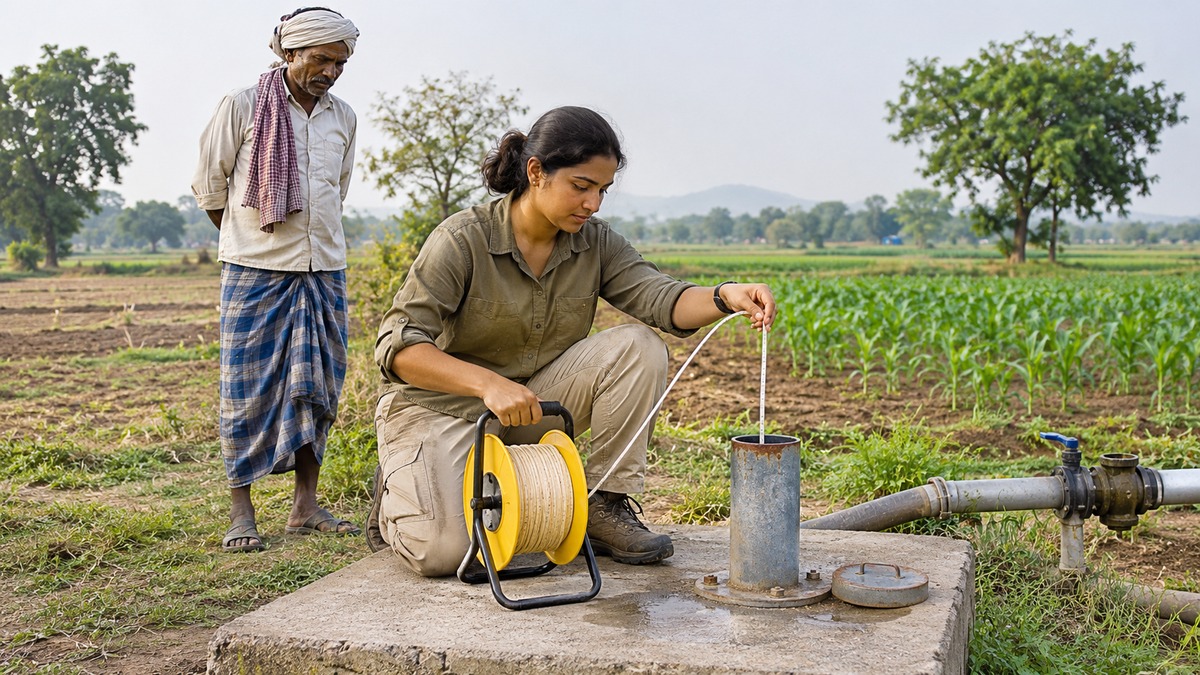
Why can a well run dry after a good monsoon?
Rainfall and groundwater availability are connected, but they are not the same thing. Some rain runs off, some returns to the atmosphere, and some remains in the soil. Only the portion that reaches an aquifer contributes to its recharge. Meanwhile, wells continue to withdraw water and aquifers may discharge into rivers, springs or wetlands. A wet season therefore does not automatically cancel years of intensive extraction.
Groundwater is best understood as water moving through a geological system rather than a hidden tank beneath each farm. The system has storage, pathways, inputs and outputs. Understanding these features explains why neighbouring wells can behave differently, why pumping can affect a river and why building a recharge structure is not sufficient evidence of water security.
Where groundwater occurs
Below the surface, water occupies openings between sediment grains and fractures or cavities in rock. In the unsaturated zone, openings contain both air and water. Soil moisture in this zone supports vegetation but should not be equated with a fully saturated aquifer. The water table marks the upper surface of an unconfined saturated zone.
An aquifer is a geological formation capable of storing and transmitting usable quantities of groundwater. It need not be an underground river or a large empty cavern. Many aquifers consist of sand and gravel; others depend on fractures or weathered zones in otherwise compact rock. The geology determines where water can accumulate and how readily it moves towards a well.
Storage and transmission are different properties
Porosity describes the proportion of a material’s volume occupied by voids. Permeability describes its ability to transmit fluid through connected openings. A material can have many small pores yet allow water to move slowly. Clay illustrates why high porosity alone does not establish a productive aquifer: pore size, connectivity and resistance to flow also matter.
In hard-rock terrain, weathering and fractures can create storage and flow pathways. A borewell intersecting a connected fracture may yield water, while another nearby borewell misses it. Greater drilling depth therefore does not guarantee a greater or more sustainable yield. Aquifer thickness, hydraulic properties, recharge and the location of productive zones all require investigation.
Unconfined and confined aquifers
| Feature | Unconfined aquifer | Confined aquifer |
|---|---|---|
| Upper condition | Water table forms its upper saturated boundary | A relatively low-permeability layer confines it |
| Water level in a suitable well | Reflects the local water table | Can rise above the top of the aquifer |
| Meaning of a falling level | May indicate reduced saturated thickness | Can indicate declining pressure while the aquifer remains saturated |
A confining layer restricts flow; it should not automatically be treated as a perfectly sealed lid. Recharge may reach a confined aquifer at a distant outcrop or through leakage where hydraulic conditions permit. Consequently, the recharge area supplying a well may lie outside the land parcel containing that well.
In an artesian system, pressure causes water in a well to rise above the aquifer’s top. A flowing artesian well is a more specific case: the pressure level is high enough for water to emerge above the ground without pumping. Every artesian well need not flow at the surface, and artesian pressure does not certify that the water is uncontaminated.
How groundwater moves
Groundwater flow is governed by differences in hydraulic head, a measure combining elevation and pressure effects. In a connected system, water tends to move from higher head towards lower head. The land surface alone is therefore not a complete map of groundwater flow. Comparing well levels requires a common elevation reference and knowledge of which aquifer each well taps.
This distinction matters when interpreting monitoring records. A depth measured below a high ground surface cannot be compared directly with the same depth below a lower surface to infer flow direction. Similarly, readings from separate aquifers may represent different pressure systems. Good measurement needs a known reference point, well construction information and comparable observation conditions.
Infiltration is not identical to recharge
Infiltration is the entry of water into the ground at the surface. Recharge occurs when water reaches and replenishes the saturated groundwater system. Water entering the soil may instead be taken up by plants, evaporate or move laterally before reaching the aquifer. The amount of rainfall is therefore not a direct measurement of recharge.
Recharge depends on rainfall timing, soil conditions, geological pathways, land cover and the available storage space. Water may also enter an aquifer through a connected river, canal or other surface-water body. These connections must be established locally; neither every pond nor every stream is necessarily a recharge source at all times.
Groundwater is renewable where replenishment occurs, but renewability has a timescale. Slowly replenished stores can be depleted much faster than they recover. Calling the resource renewable does not establish that present withdrawals are sustainable or that a deeper aquifer will refill within the planning period.
Pumping changes the surrounding system
Pumping lowers the hydraulic head near a well, producing drawdown. The resulting lowered water-level or pressure surface is commonly described as a cone of depression. Its extent and shape depend on pumping, time and aquifer conditions; it is not a universal fixed circle around every well.
When the influence of nearby wells overlaps, one user’s pumping can increase drawdown experienced by another. This is well interference. A successful individual borewell can therefore coexist with declining reliability for neighbouring shallow wells. The aquifer does not recognise property boundaries, making coordinated monitoring and management important.
Initially, pumping commonly draws on stored groundwater. Over time, it may also reduce natural discharge or induce additional inflow. A stable water level does not necessarily mean that pumping has no environmental effect: the balance may have changed because less groundwater now reaches a stream. Sustainability must consider what supports the new balance.
Rivers and aquifers are connected
A gaining stream receives groundwater discharge. A losing stream supplies water through its bed towards the groundwater system. The direction depends on hydraulic conditions and can vary along a river or through the seasons. Groundwater discharge often supports river flow during dry periods, commonly termed baseflow.
Pumping near a connected river can intercept water that would otherwise discharge into it. With sufficient change in the hydraulic gradient, river water may be drawn into the aquifer. Thus a reduction in river flow need not result from a pump installed directly in the river. Groundwater abstraction can affect surface-water availability through subsurface connections.
This is why comparing extraction only with average recharge is an incomplete sustainability test. Natural recharge already supports discharge and ecosystem functions. A management plan must also examine storage changes, streamflow effects, water quality and other users, rather than treating the entire recharge estimate as an uncommitted pumping allowance.
Quantity and quality risks
In coastal aquifers, excessive pumping can disturb the freshwater–saltwater balance and encourage saline water to enter freshwater supply zones. The process concerns hydraulic conditions as well as proximity to the sea. A borewell that still yields water may become less useful if its salinity increases.
In compressible aquifer systems, declining groundwater pressure can increase stress carried by the sediment framework and cause compaction. Land subsidence may follow. Some compaction is irreversible, so a later recovery in water levels does not necessarily restore the former land elevation or storage capacity. This outcome depends on geology; it is not inevitable in every pumped aquifer.
Groundwater can contain substances derived naturally from geological materials, as well as pollutants introduced by human activity. Arsenic and fluoride illustrate geogenic concerns in affected areas, while fertilisers, waste and sewage can contribute to contamination. Clear appearance, greater depth or rising water levels do not independently establish suitability for drinking. Quantity monitoring and quality testing answer different questions.
Recharge structures must fit the site
Managed recharge deliberately enhances replenishment through measures such as infiltration basins, suitable check dams or recharge wells. Selection requires evidence about source-water availability, water quality, aquifer conditions and storage space. A structure suitable for permeable sediments may perform poorly where the underlying formation restricts movement.
The source water also needs assessment and, where necessary, treatment. Sending contaminated runoff underground can transfer pollution into an aquifer rather than solve a scarcity problem. Sediment accumulation can reduce infiltration, making maintenance part of the design rather than an optional activity after construction.
Performance should be assessed through changes in groundwater conditions, not merely the number of structures built. Monitoring should consider rainfall, pumping and neighbouring wells, since an observed rise may have more than one cause. Local recharge projects also require coordination with downstream needs and existing uses of the source water.
Demand management and reliable evidence
Improved irrigation practices can reduce water applied per unit of land, but that does not automatically demonstrate a reduction in total groundwater use. Farmers may expand the irrigated area or change cropping intensity. Some apparent field-level losses may previously have returned to the aquifer. Assessing savings therefore requires attention to the whole water balance and actual extraction.
Crop choices, irrigation scheduling, maintenance of distribution systems and collective water budgeting can complement recharge measures. A water budget should make both supply assumptions and withdrawals visible. It should be revised when rainfall, cultivation or demand changes rather than treated as a permanent entitlement derived from a single favourable year.
Seasonal observations and long-term trends must be separated. A post-monsoon rise can occur within a longer period of decline. Compare equivalent seasons over several years, account for rainfall variation and distinguish a pumping-affected reading from a suitably recovered observation. A single well or a single date cannot describe the condition of an entire aquifer.
UPSC and State PCS connection
The topic connects GS I physical geography and water resources with GS III irrigation, agriculture and environmental management. The 2024 Civil Services Mains GS I paper linked declining groundwater potential in the Gangetic valley with India’s food security. The analytical task is to connect physical processes with livelihoods and resource governance, rather than merely memorise definitions.
For revision, distinguish storage from transmission, infiltration from recharge, pressure decline from dewatering, and a well’s yield from sustainable aquifer use. Explain why both geology and human withdrawals matter. Effective water security combines reliable measurements, appropriate recharge, demand management and protection of connected ecosystems.
- Porosity concerns void space; permeability concerns transmission.
- Artesian pressure does not guarantee surface flow or clean water.
- Pumping can affect neighbouring wells and river baseflow.
- Recharge must be assessed together with quality and demand.
- Seasonal recovery alone does not establish long-term sustainability.
Practise next: Attempt related MCQs and revise quick notes on groundwater in the IASLadder app.
Practicing UPSC Prelims PYQs?
Practice 45+ years of topic-wise previous year questions (1979–2026) with in-depth explanations on our mobile app.
Never miss a daily update
Join our official Telegram channel or WhatsApp group for daily current affairs and test alerts.
Frequently Asked Questions
Test yourself · 10 practice questions
Practice MCQs on Groundwater and Aquifers: Recharge, Pumping and Water Security
Check how well you understood this article with 10 UPSC-style multiple-choice questions — instant answers with detailed explanations.
View all questions with answersTags
Related Articles

Directive Principles of State Policy: Articles 36 to 51 Explained
Part IV of the Constitution sets out the Directive Principles of State Policy. This guide explains each Article from 36 to 51, their classi…

Bhakti and Sufi Movements: Saints, Philosophies and Silsilas
From the Alvars and Nayanars to Kabir, Basavanna and Sankaradeva, and from Chishti khanqahs to sama and urs, this guide organises the Bhakt…

RBI Monetary Policy Tools: Repo, CRR, SLR, OMOs and the MPC
How does the RBI change the cost and quantity of money? This guide explains inflation targeting, the Monetary Policy Committee, the repo–SD…
Keep reading
More in Optional & Subjects
- Optional & Subjects India's Three-Stage Nuclear Programme: Reactors, Fuels and Thorium
- Optional & Subjects Protected Areas in India: National Parks, Sanctuaries and Reserves
- Optional & Subjects Colonial Land Revenue: Permanent, Ryotwari and Mahalwari
- Optional & Subjects Constitutional Writs: Articles 32 and 226 Explained
- Optional & Subjects Ocean Currents, Upwelling and Climate: A Conceptual Guide
- Optional & Subjects Fiscal, Revenue and Primary Deficits: Reading the Budget