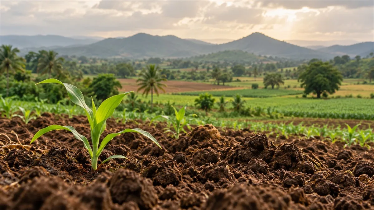
Why Indian soils are so diverse
Soil is a living natural resource, formed over time through the interaction of parent material, climate, organisms, relief and time. India’s mountains, plateaus, plains, coasts and arid regions expose soils to very different conditions. The result is a varied soil cover that influences crops, water storage, settlement and land use.
For UPSC CSE and State PCS, soil questions usually test three connections: how a soil forms, where it is found, and what its properties mean for agriculture or conservation. Memorising state lists alone is less useful than linking each feature to a process.
How to classify soils of India
Many school and competitive-exam texts use broad groups such as alluvial, black, red and yellow, laterite, arid, saline, peaty and forest or mountain soils. These are practical geographic categories based on visible properties, formation and regional distribution. They are not a single formal scientific taxonomy. Soil surveys by ICAR’s National Bureau of Soil Survey and Land Use Planning also classify soils using systems such as USDA Soil Taxonomy, which identifies soil orders and more detailed subgroups.
That distinction matters: one broad landscape group may contain more than one formally classified soil, and soils within a named group can vary with drainage, parent material and local climate. Use the familiar broad groups for exam answers, but avoid implying that every soil in a state is identical.
Major soil groups: features and distribution
| Soil group | Formation and key properties | Broad distribution |
|---|---|---|
| Alluvial | Deposited by rivers; texture and drainage vary from sandy to clayey. | Indo-Gangetic and Brahmaputra plains, river valleys, coastal plains and deltas. |
| Black | Clay-rich; swells when wet and shrinks with deep cracks in dry weather. | Deccan Trap region, especially parts of Maharashtra, Madhya Pradesh, Gujarat, Telangana and Karnataka. |
| Red and yellow | Colour reflects iron compounds; often porous and variable in fertility. | Parts of the eastern and southern Deccan, Chota Nagpur region and adjoining uplands. |
| Laterite | Strong leaching under high rainfall and seasonal wet-dry conditions; typically acidic and nutrient-poor without management. | Humid uplands and hill slopes, including parts of the Western and Eastern Ghats and northeast India. |
| Arid | Often sandy, low in organic matter and affected by moisture scarcity; salinity can occur locally. | Western Rajasthan, parts of Gujarat and other dry regions. |
| Saline or alkaline | Excess soluble salts or exchangeable sodium restrict plant growth; causes and remedies vary by site. | Patches in arid and semi-arid interiors, poorly drained irrigated lands and some coastal areas. |
| Peaty, marshy and mountain | Organic-rich waterlogged soils occur in some wetlands; mountain soils vary sharply with altitude, slope and vegetation. | Wetlands and deltas for peaty soils; Himalayan and other hill regions for mountain soils. |
Alluvial soils: young deposits and older terraces
Alluvial soils are formed from material carried and laid down by rivers. In the northern plains, the traditional distinction between newer khadar deposits near active floodplains and older bhangar on higher terraces is useful for map-based revision. It is a relative age and landscape distinction, not a guarantee that all khadar is highly fertile or all bhangar is poor. Texture, drainage, nutrient status and flood exposure differ from place to place.
Alluvium also occurs beyond the northern plains—in river valleys, coastal plains and deltas. This wider distribution is a useful correction to the misconception that alluvial soil belongs only to the Ganga basin.
Black soils: shrink-swell behaviour
Black soils, often called regur or black cotton soils in the traditional classification, are closely associated with the basaltic Deccan. Their clay-rich material can hold substantial moisture, swell when wet and form wide cracks as it dries. These cracks are a visible clue to shrink-swell behaviour. Such soils can support important crops, including cotton, but high clay content can also mean slow drainage and difficult field operations when soil moisture is extreme.
Do not equate “black” with complete fertility. Soil nutrient status varies; nitrogen, phosphorus and organic matter may be limiting even where some mineral nutrients are abundant. A colour name is not a substitute for a soil test.
Red, laterite and arid soils
Red and yellow soils occur widely over older crystalline rocks and uplands of peninsular India. Iron compounds contribute to their colour, while depth, texture, acidity and nutrient supply vary. Some are productive with suitable moisture and nutrient management; blanket claims that they are uniformly infertile are misleading.
Lateritic soils develop under intense weathering and leaching associated with warm, humid conditions and alternating wet and dry periods. Leaching removes soluble bases from upper layers, which helps explain why many lateritic soils need careful management. Laterite is not simply “red soil”: the term points to a formation process and a characteristic weathered material.
Arid soils form under low rainfall and high evaporation. Their sandy or gravelly texture and low organic matter can limit water retention, but local conditions differ. Irrigation without adequate drainage may create secondary salinity or alkalinity in susceptible locations; aridity itself and human-induced salt accumulation should not be treated as the same process.
Soil erosion and conservation
Soil is lost when water or wind removes exposed topsoil faster than it can form. Heavy rain on bare slopes can create sheet, rill or gully erosion; wind can carry away loose dry surface material. Overgrazing, deforestation, poorly planned cultivation and unsuitable irrigation may intensify degradation. The most appropriate response depends on the cause and local setting.
- On slopes: contour cultivation, terracing, vegetative barriers and maintaining ground cover slow runoff.
- In dry regions: shelterbelts, windbreaks, controlled grazing and stabilising dunes help reduce wind erosion.
- In gullied land: drainage-line treatment, check structures and vegetation can reduce further incision where properly planned.
- On salt-affected land: diagnosis of salinity versus sodicity, suitable drainage and site-specific amendments are needed; a single remedy does not fit every field.
- Across farm systems: crop rotation, organic matter management and soil testing support informed nutrient use.
Conservation is not only about preventing visible erosion. It also means matching land use to soil depth, slope, water availability and limitations. ICAR-NBSS&LUP’s soil resource and degradation maps illustrate why planning at regional and local scales matters.
UPSC Prelims and Mains approach
For Prelims, revise the soil–process–region links: river deposition and alluvium; basaltic Deccan and shrink-swell black soil; leaching and laterite; low rainfall and arid soil; and the khadar–bhangar distinction in the northern plains. Map the major regions, but remember that soil boundaries are not state borders and transitions can be gradual.
For Mains, structure an answer in four steps: explain soil formation factors, classify the major groups, connect properties to agriculture and regional land use, and discuss erosion or conservation. Add one regional example relevant to the question—such as black soils in parts of Maharashtra and Madhya Pradesh, alluvial soils in the Indo-Gangetic plains, or lateritic soils in humid uplands. State PCS answers can add the relevant state’s districts or local soil survey where the question calls for it, after checking an official state source.
Conclusion
India’s soils reflect the combined influence of parent material, climate, relief, organisms and time. A strong geography answer moves beyond labels: it explains why a soil occurs where it does, how its properties shape land use, and what conservation measures fit its limits. That approach works across both UPSC CSE and State PCS examinations.
Practicing UPSC Prelims PYQs?
Practice 45+ years of topic-wise previous year questions (1979–2026) with in-depth explanations on our mobile app.
Never miss a daily update
Join our official Telegram channel or WhatsApp group for daily current affairs and test alerts.
Frequently Asked Questions
Test yourself · 10 practice questions
Practice MCQs on Soils of India: Types, Distribution and Key Features
Check how well you understood this article with 10 UPSC-style multiple-choice questions — instant answers with detailed explanations.
View all questions with answersTags
Related Articles
Colonial Land Revenue: Permanent, Ryotwari and Mahalwari
What was permanent in the Permanent Settlement, and what did direct settlement with a ryot actually change? Compare colonial revenue system…

Constitutional Writs: Articles 32 and 226 Explained
Constitutional remedies depend on the right involved and the legal defect requiring correction. Understand how Articles 32 and 226 differ, …
Ocean Currents, Upwelling and Climate: A Conceptual Guide
Why can a sunny coast have cold water and rich fisheries? Understand how winds, rotation and density shape ocean circulation. This guide ex…
Keep reading
More in Optional & Subjects
- Optional & Subjects Fiscal, Revenue and Primary Deficits: Reading the Budget
- Optional & Subjects Ecosystem Energy Flow: Food Chains and Ecological Pyramids
- Optional & Subjects Harappan Cities: Planning, Water and Archaeological Evidence
- Optional & Subjects Plate Tectonics: Boundaries, Earthquakes and Mountains
- Optional & Subjects CRISPR-Cas9 Gene Editing: How It Works and Its Limits
- Optional & Subjects Inflation in India: CPI, WPI and GDP Deflator